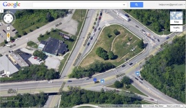
After a few years of digital anonymity, Google Earths satellites have revisited the intersection of Redbank Road and Erie Avenue and have generated images of the Redbank Pawpaw Circle.
If you visit this link, you can see it for yourself. A screenshot is below:

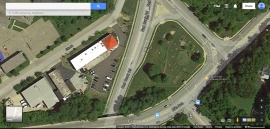
For those who are curious, when we were planning the project, the Google earth record of the intersection looked like this:

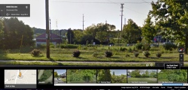
August update to this post: The Google streetview car made a recent pass by the site. Here is a relatively current shot of the circle (this is the full overgrown August version).

Leave a comment